HOW TO USE THIS LIVE ITINERARY
Welcome! This isn't just a static list—it's a real-time, interactive mission control for your drive into Yoho National Park. Built to work even when cell service drops in the mountains.
Tap when you hit the road. All stop times automatically adjust to match your live departure.
Tap Open Satellite GPS on any stop to drop a pin directly in Apple or Google Maps offline.
Check the photo guides under each stop for exact trail tips to capture the best angles.
Running short on time? Tap Drop Stop to recalculate your timeline instantly.
Itinerary
Depart Calgary
Drive west into the Rockies towards Bow Summit via Trans-Canada Hwy / AB-1 W.
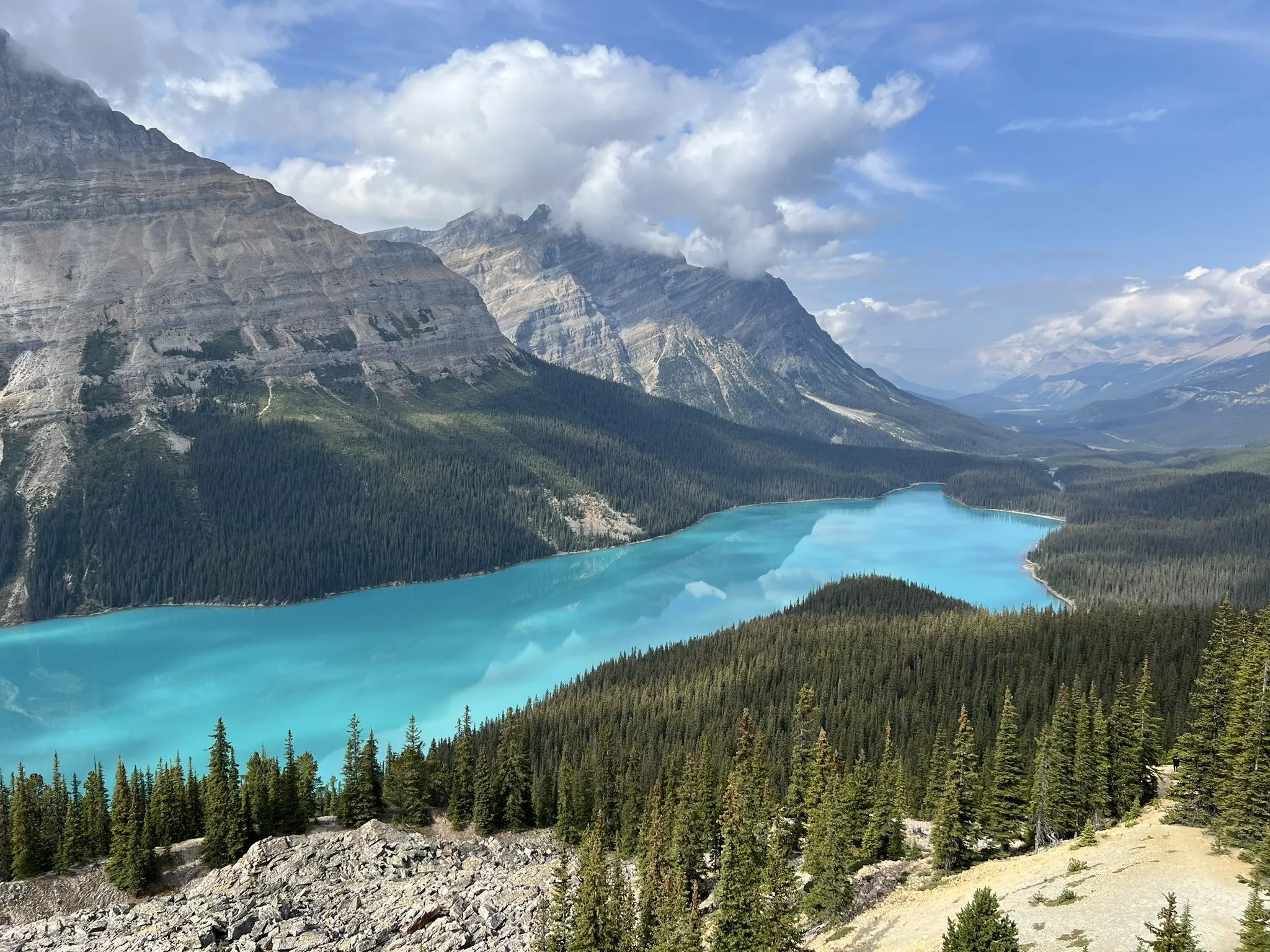
Peyto Lake Viewpoint
Paved walk to the main deck plus extra time for the dirt trail extension to escape crowds for the iconic panoramic photo.
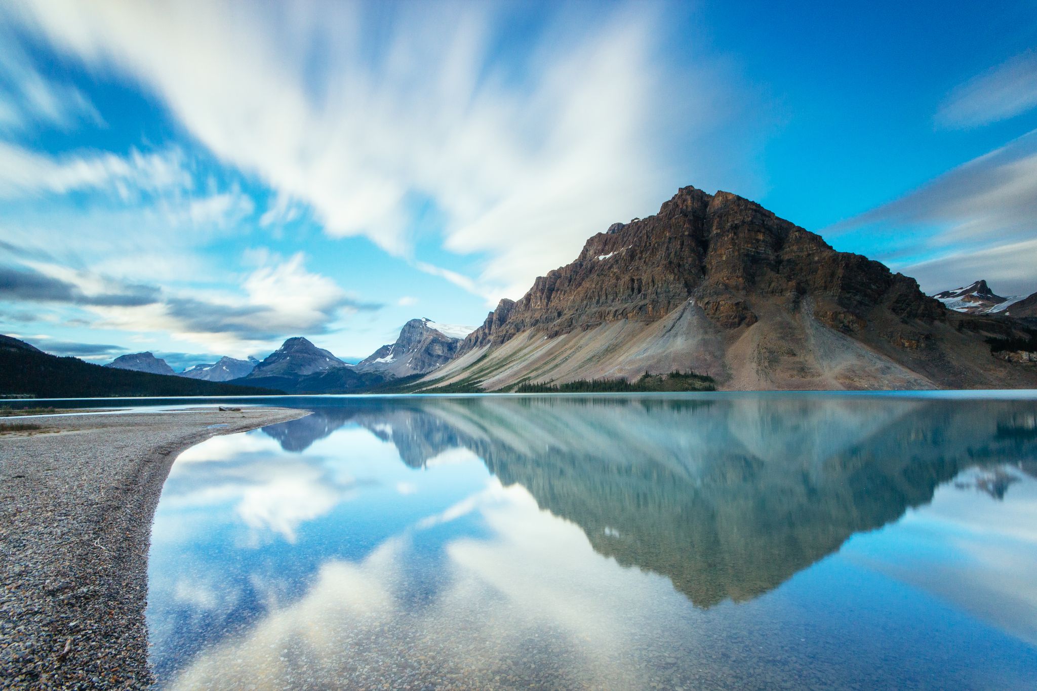
Bow Lake
Extended shoreline stroll past Num-Ti-Jah Lodge for crystal reflection shots of Crowfoot Mountain.
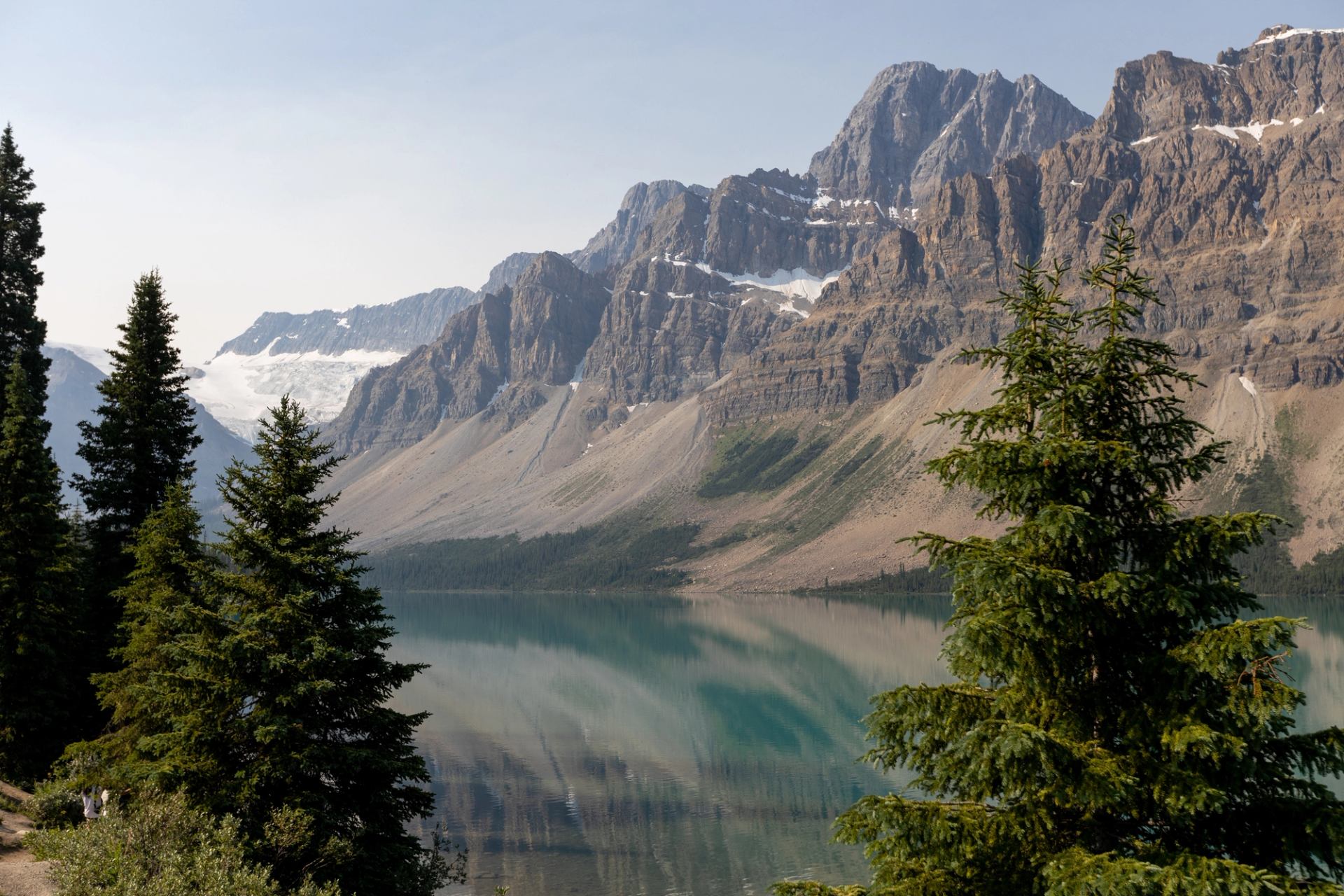
Crowfoot Glacier Viewpoint
Quick roadside pullout to view the historic glacier shaped like a crow's foot.
Lower Spiral Tunnel Viewpoint
Pull over right along Highway 1 for a quick train engineering viewing stop.
Lunch in Field at Truffle Pigs Bistro & Lodge
Short drive into town for a relaxed sit-down lunch break.
Natural Bridge
Watch the rushing Kicking Horse River cut through solid rock with time to cross the footbridge for the best angle.

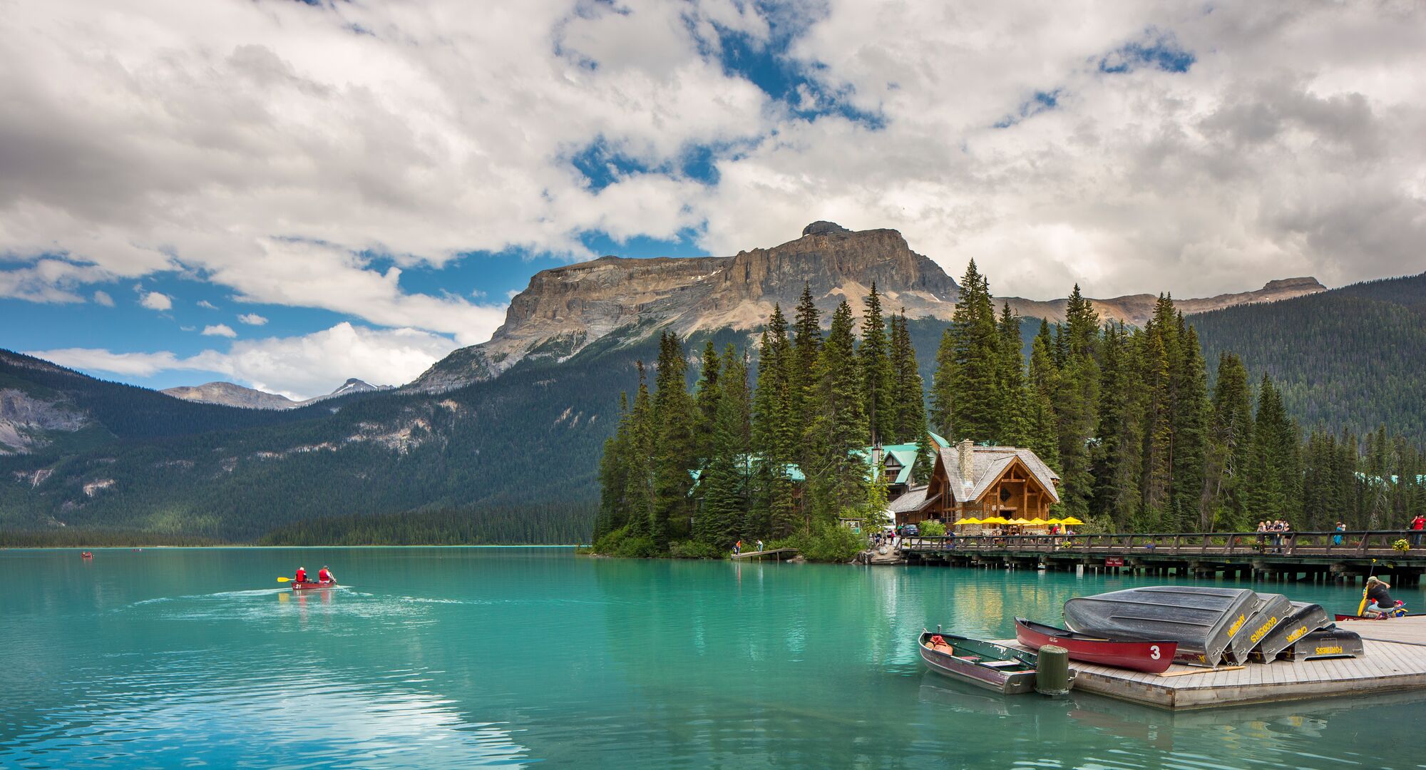
Emerald Lake
Expanded time to walk the scenic shoreline trail and view the iconic canoe docks.
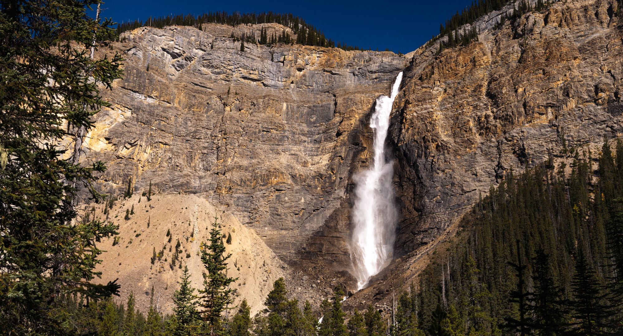
Takakkaw Falls
Prime late-afternoon visit to the base of Canada's 2nd-highest waterfall—fewer crowds and better lighting.
Return to Calgary
Head back east via Trans-Canada Hwy / AB-1 E to arrive home around 8:00 PM.