HOW TO USE THIS LIVE ITINERARY
Welcome! This live guide keeps your trip relaxed and on schedule. Tap to update your departure time on the fly or launch offline maps when driving off the grid.
Tap when you hit the road. All stop times and descriptions automatically adjust to match your live departure.
Tap Open Satellite GPS on any stop to drop a pin directly in Apple or Google Maps offline.
Check the photo guides under each stop for exact trail tips to capture the best angles.
Save a PDF copy of this guide before heading out into areas with limited cellular coverage.
- Head west on Trans-Canada Hwy / AB-1 W toward Banff.
- Take exit 118 for AB-40 S (Kananaskis Trail) toward Kananaskis Country.
- Drive south on AB-40 S for approximately 67 km through Peter Lougheed Provincial Park.
- Ascend to Highwood Pass Day Use Area (highest paved pass in Canada).
- Turn right into the main paved parking area.
- Exit Highwood Pass parking lot and turn left (north) onto AB-40 N.
- Drive north on AB-40 N for 38 km.
- Turn left onto Kananaskis Village Way and follow signs for Village Centre.
- Exit Kananaskis Village onto AB-40 N.
- Follow AB-40 N for 24 km back to Trans-Canada Hwy / AB-1 E.
- Merge right onto AB-1 E and follow directly back into Calgary.
Itinerary
Depart Calgary
Drive west via Trans-Canada Hwy / AB-1 W and south on scenic Kananaskis Trail (Hwy 40 S) up to Highwood Pass.
Pocaterra Cirque Hike
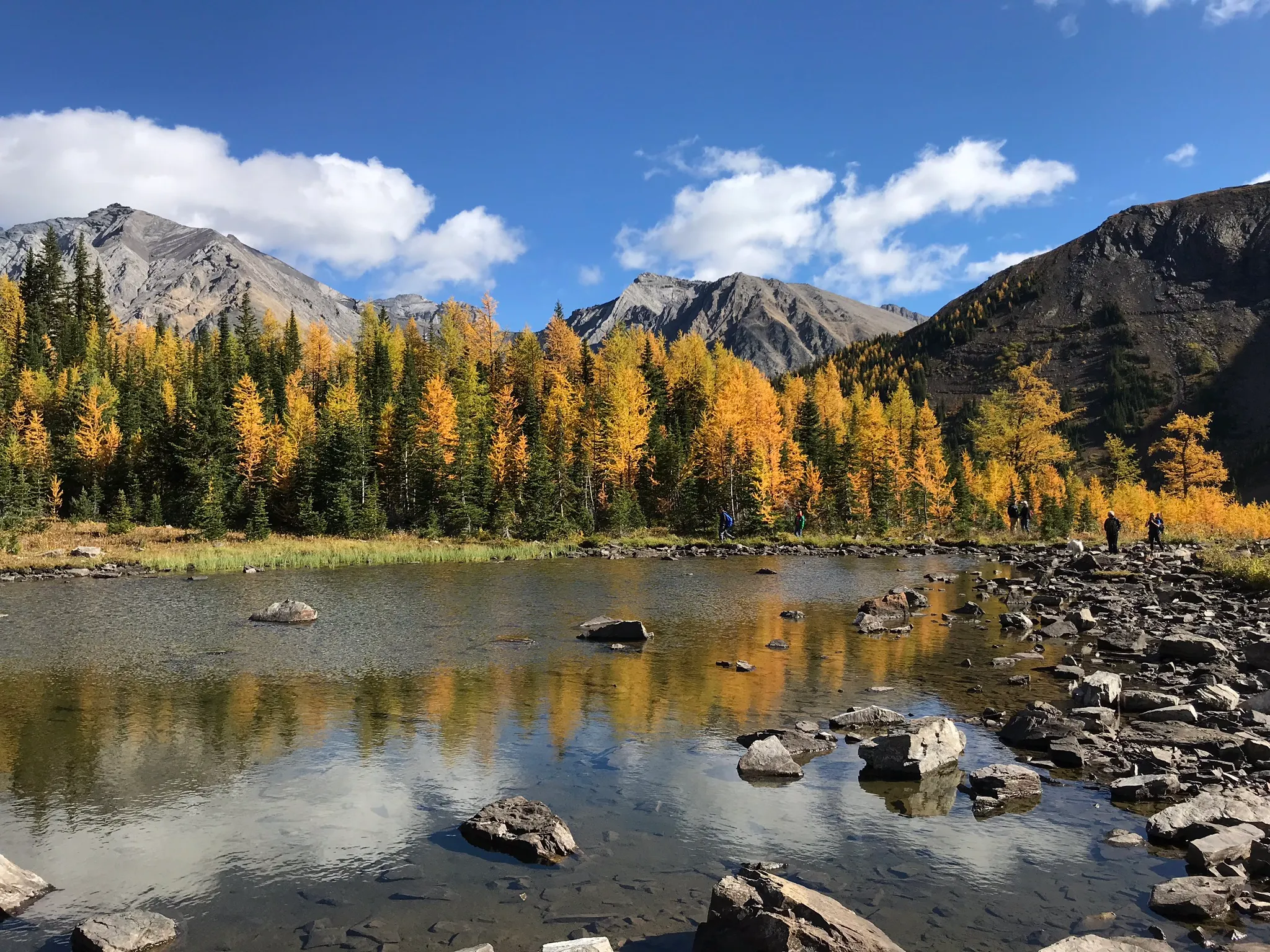
Depart from Highwood Pass into subalpine forest, opening into golden larch meadows, reflecting tarn ponds, and the towering rock walls of Mount Tyrwhitt (~7.0 km round-trip | ~400m elevation gain).
Kananaskis Village & Blackwood Coffee
Unwind post-hike with artisanal coffee, warm food, and patio treats nestled in Kananaskis Village surrounded by Mount Kidd views.
Return to Calgary
Head back north down Hwy 40 N and east via Trans-Canada Hwy / AB-1 E to arrive home comfortably by 4:15 PM.