HOW TO USE THIS LIVE ITINERARY
Welcome! This live guide keeps your trip relaxed and on schedule. Tap to update your departure time on the fly or launch offline maps when driving off the grid.
Tap when you hit the road. All stop times and descriptions automatically adjust to match your live departure.
Tap Open Satellite GPS on any stop to drop a pin directly in Apple or Google Maps offline.
Check the photo guides under each stop for exact trail tips to capture the best angles.
Save a PDF copy of this guide before heading out into areas with limited cellular coverage.
- Head west out of Calgary on Trans-Canada Hwy / AB-1 W toward Banff.
- Continue west on AB-1 W past Banff and the Lake Louise junction.
- Take the exit right onto Hwy 93 N (Icefields Parkway) toward Jasper.
- Drive north on Hwy 93 N for approximately 40 km.
- Turn left into the Bow Summit / Peyto Lake parking area.
- Exit the Bow Summit parking lot and turn left (north) onto Hwy 93 N.
- Follow the Icefields Parkway north for 31 km.
- Watch for signage and turn left into the Mistaya Canyon parking lot.
- Exit the parking lot and turn right (south) onto Hwy 93 S.
- Follow Hwy 93 S all the way to the Trans-Canada Hwy / AB-1 E junction.
- Merge right onto AB-1 E toward Calgary.
- Follow AB-1 E past Banff and Canmore directly back into Calgary.
Itinerary
Depart Calgary
Drive west into the Rockies towards Bow Summit via Trans-Canada Hwy / AB-1 W and Hwy 93 N.
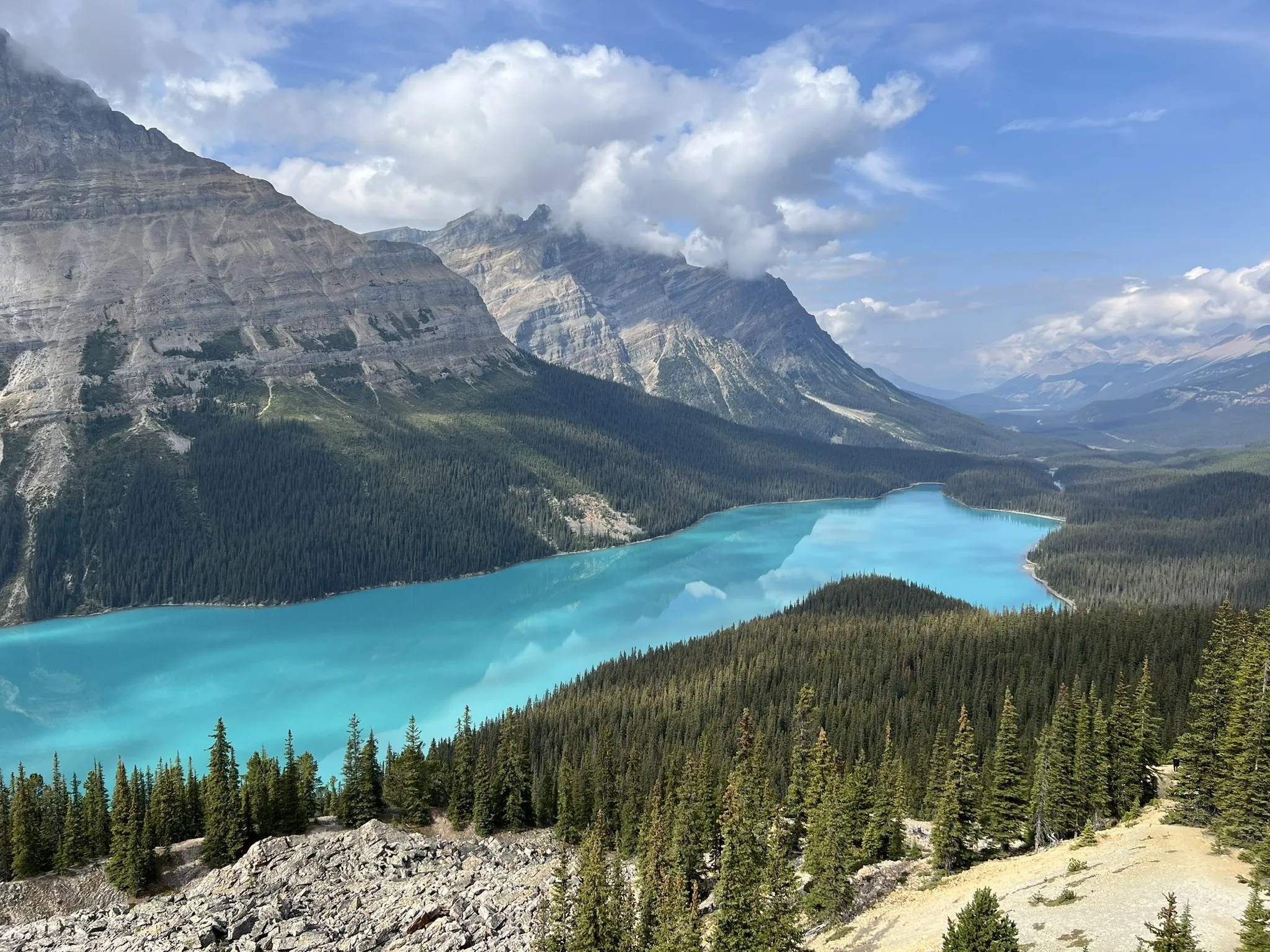
Peyto Lake & Bow Summit Lookout Hike
Bypass the crowded lower platform and push up the former fire lookout trail toward Bow Summit ridge (~6.5 km round-trip | ~260m elevation gain). Enjoy a trail lunch overlooking Peyto Glacier, Peyto Lake, and the vast Mistaya Valley.
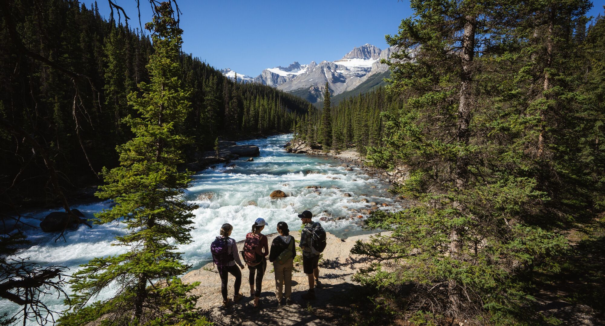
Mistaya Canyon
A short 1.8 km round-trip stroll down through pine forest to a wooden bridge over a deep, water-carved limestone canyon where the Mistaya River thunders below.
Return to Calgary
Head back south down Hwy 93N and east via Trans-Canada Hwy / AB-1 E to arrive home comfortably by 5:15 PM.